Demonstration Of Runway Enhanced Approaches Made with Satellite Navigation
The DREAMS project (SESAR VLD1-W2) evaluates sustainable approach procedures in real operational environments for single-runway-with-dual-threshold operations or dual-glide-slope (one being steeper) operations while contributing to a reduction in noise pollution.
Innovations in global navigation satellite system (GNSS) technologies are paving the way for better-optimised and more efficient approaches. Such developments are key enablers of sustainable airport operations.
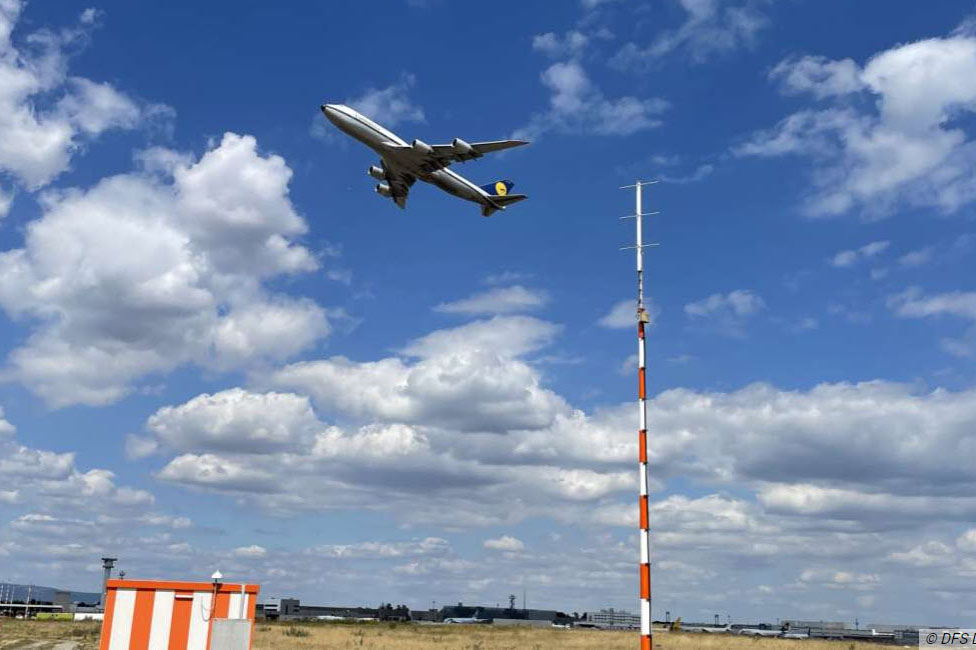
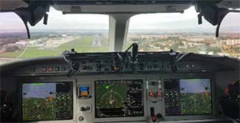
During this project, flight trials was conducted with test aircraft equipped with airborne platforms, and with airliner aircraft (under non-revenue flights), supported by ground platforms. Participating air navigation service providers (ANSPs) developed new approach procedures and further assess ground and space-based augmentation systems (GBAS and SBAS) at several airports, including Twente, Frankfurt and Rome Ciampino.
Objective
The objective of the DREAMS project is to bring enhanced approach procedure operations to the next maturity stage (V4) through a proof of concept (PoC) with flight trials, tests and preparations for the necessary changes in standardisation and regulations.
The demonstrations utilised business jets and mainline aircraft (with Airbus and Boeing aircraft) with the support from leading aircraft operators.
Three types of operational solutions are covered:
- increased second glide slope (ISGS),
- second runway aiming point (SRAP),
- increased glide slope to second runway aiming point (IGS-to-SRAP).
The trials include flights on GBAS CAT II with several months of application, more than one hundred flights and flight data collected to power noise analysis. In addition, a technical study was performed on procedure design criteria for adaptive increased glide slope (A-IGS).